Jamtara is situated at 23.95°N latitude and 86.8°E longitude, in the eastern part of India. The district is positioned approximately 250 km from Ranchi, the state capital of Jharkhand.
The district boasts an average elevation of 155 meters (508 feet) above sea level and covers an area of 1801 km².
Accessibility: Jamtara is well-connected to several major cities:
History: Jamtara was established on 26 April 2001, formed by carving out four blocks from the Dumka District.
Administrative Structure: The district consists of four blocks and includes notable towns such as:
Cost Estimation: The cost for civil works related to the water supply project has been calculated based on the rates for labor and materials approved by the Government of Jharkhand. These rates are derived from the Schedule of Rates for Drinking Water & Sanitation by the Building & Construction Department and the Water Resource Department. These schedules are effective from 1st July 2018 and reference the Maharashtra Jeevan Pradikaran Schedule Rates for the fiscal year 2019-2020.
Upon the successful implementation and commissioning of the water supply initiative, the entire population of Jamtara District will gain access to safe and potable water. This fundamental necessity is crucial for:
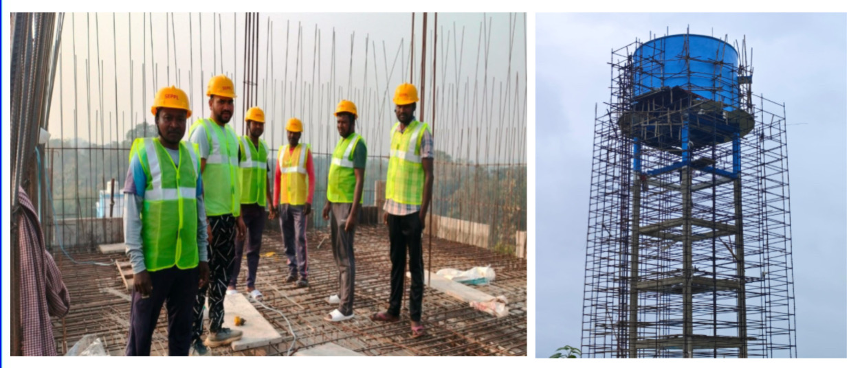
The Jamtara District Water Supply Initiative aims to enhance the quality of life for its residents by providing reliable access to clean water, ultimately fostering better health and well-being in the rural community.